MechE Colloquium: 9/25 Sherrie Wang on "Learning to Measure the Earth"
Abstract
How can we measure environmental conditions at the scales where people experience and manage them? Satellites now provide extensive coverage of the Earth, yet many quantities we care about remain difficult to observe. In this talk, I will present two approaches to expanding environmental measurement through machine learning. First, I will introduce our work combining sparse weather station observations, remotely sensed representations of the Earth’s surface, and coarse atmospheric reanalysis to estimate weather at 30-meter resolution (“micro-weather”) across the United States. I will discuss how we test whether these estimates recover local weather differences, and where recovery remains difficult. Second, I will show how street-view imagery can provide ground truth observations for training satellite-based models to map agriculture across India. These projects illustrate how observations collected from different sensors and at different scales can help recover environmental information that no single source provides. They also raise an important question for machine learning for environmental science: how do we establish which details in an inferred map can be trusted?
Bio
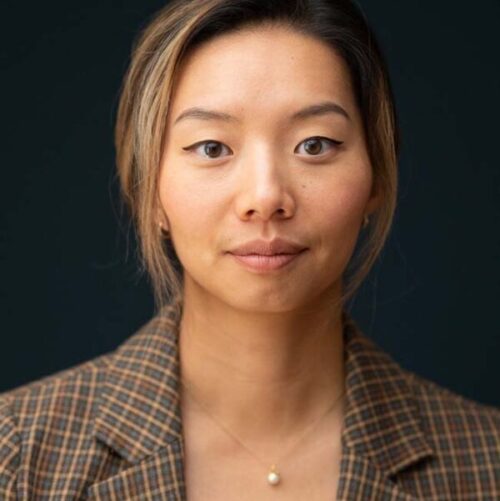
Sherrie Wang is a Doherty Assistant Professor in Ocean Utilization in the Department of Mechanical Engineering and Institute for Data, Systems, and Society. Her research uses novel data and computational algorithms to monitor our planet and enable sustainable development. To this end, her work frequently uses satellite imagery and other spatial data. Due to the scarcity of ground truth labels in many regions and the noisiness of real-world data in general, her methodological work is geared toward developing machine learning methods that work well with these constraints. Prior to MIT, Wang was a Ciriacy-Wantrup Postdoctoral Fellow at UC Berkeley, and she obtained her PhD in Computational and Mathematical Engineering from Stanford University.